A tropical storm warning is in effect for the Gulf Coast, and a hurricane watch has been issued from Alabama to Louisiana.
The tropics are getting active just in time for the peak of Atlantic hurricane season on Sept. 10.
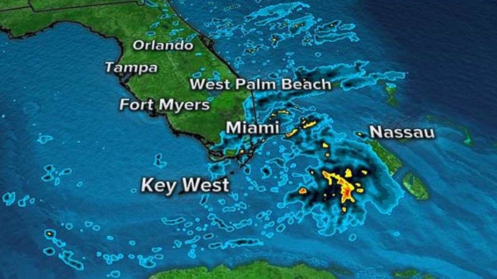
The close-up radar Monday morning shows Tropical Storm Gordon moving through southern Florida and the Florida Keys. Rain squalls and thunderstorms are ongoing now.
The squalls could produce wind gusts 50 to 60 mph, flash flooding and an isolated tornado.
Late Monday morning, the National Hurricane Center issued a hurricane watch along the border of Alabama and Louisiana because sustained winds were forecast to reach 70 mph, just 4 miles short of hurricane strength.
The storm is expected to make landfall in the southern Louisiana area around New Orleans between 7 and 8 p.m. Tuesday.
Southern Florida and parts of the Gulf Coast could see 3 to 6 inches of rain, and locally southern Florida could see up to 8 inches of rain.
A lot of the country will be seeing heavy rain and flooding this Labor Day.
Several storm systems will bring flash flooding to the eastern U.S. from the Gulf Coast to the Great Lakes.
A slow-moving storm system continues to produce heavy rain and flooding from Kansas to Illinois Monday morning and into the afternoon.
Another separate system is moving through the western Gulf Coast, bringing heavy rain to the Houston area.
Flash flood watches have been issued for seven states from Houston to Kansas City and into northern Illinois, just northwest of Chicago.
In the next 48 to 72 hours, some areas in the heartland of the country could see as much as half a foot of rain.


