Transcript for State of emergency declared in Florida as Hurricane Michael approaches
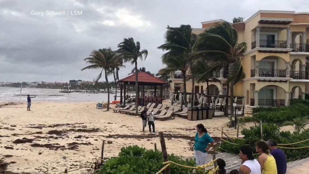
hurricane now speeding up and growing in strength, word of mandatory evacuations just issued moments ago. Hurricane Michael is right now racing across the warm waters of the gulf. It is expected to strengthen over the next 24 to 36 hours and could be a category 3 hurricane as it nears the coast. And unlike hurricane Florence, this is coming quickly. You can see the traffic already tonight. These images from Panama City, Florida. Families getting out, aware of how big this could be and how quickly it will be here. The outer bands already being felt in parts of Florida. Tonight, there are states of emergency in effect. Several states watching this. Ginger has the new track just in. And ABC’s Victor Oquendo in after latch cola Florida, tonight. Reporter: Tonight, winds from hurricane Michael already blowing in Mexico, as the rapidly intensifying storm makes its way into the warm waters of the gulf, on a collision course with the U.S. Coastline. Some coastal flooding already along Alabama’s beaches, Michael’s outer bands reaching key west. Every family must be prepared. Every family. Remember, we can rebuild your house, but we cannot rebuild your life. Reporter: Drivers headed out of Panama City beach tonight. Tomorrow, these evacuations will be mandatory. There are long lines for gas in Tallahassee and sandbagging is in full force. To the south, we met Cole, stocking up. We weren’t nervous last night when we went to bed and when we woke up this morning and all of a sudden — well, first a category 2 and now it’s looking like it’s going to be worse than that. Reporter: Some cruise ships altering their routes to avoid the storm. And also offshore, oil and natural gas platforms are shutting down and evacuating workers. Victor, the storm surge a possibility here. There could be a 12-foot surge right where you are? Reporter: That’s right, David. Potentially life-threatening storm surge. Just to give you an idea, this gazebo would almost entirely be under water. If you add a foot of rain and very powerful winds, this area could be without electricity or water for days, maybe even weeks after landfall. We should be feeling the first of the tropical storm force winds tomorrow night. David? Victor Oquendo, thank you. Let’s get right to chief meteorologist ginger zee. The next 24 hours, of course, will be crucial with the track of this thing. Reporter: It is. And it’s right already in the gulf of Mexico. As you said, David, it is coming fast. It’s moving north at 9 miles per hour. You have the Florida panhandle that has the bulk of the action happening. From the Alabama state line to swanee river, Florida. But the effects will be felt beyond that. Now, the cone itself, where the most will happen, takes it tracking over Panama City beach Wednesday afternoon. The right side, or the dirty side, is where you could see some of the heftiest winds. Even inland, you could see some roofs pulled. You could have, of course, power lines and trees down. And then that surge, in the big bend, very vulnerable spot. The rainfall up to a foot. And this will actually move — lookal Raleigh, areas that don’t
This transcript has been automatically generated and may not be 100% accurate.


