A new storm system will develop in the Gulf Coast later on Wednesday and track along the East Coast Thursday into Friday bringing flooding rain, snow, sleet and freezing rain from the South into the Northeast.
There are 16 states from Arkansas to New York that are under watches and warnings on Wednesday.
This new storm will develop and gather strength Wednesday night in the eastern Gulf Coast and spread heavy rain into Georgia and Tennessee — with snow and ice into the Ohio Valley.
The storm system will move near the Southeast coast on Thursday morning and bring heavy rain to Georgia and the Carolinas, where flooding could be an issue.
Snow, rain and freezing rain are possible further inland in the southern Appalachian Mountains and into the Ohio Valley.
By Thursday afternoon snow reaches the mid-Atlantic and the I-95 corridor from Washington, D.C., to New York City. Several hours of heavy snow is possible.
The snow will change to sleet and rain for the I-95 corridor with just a few inches possible.
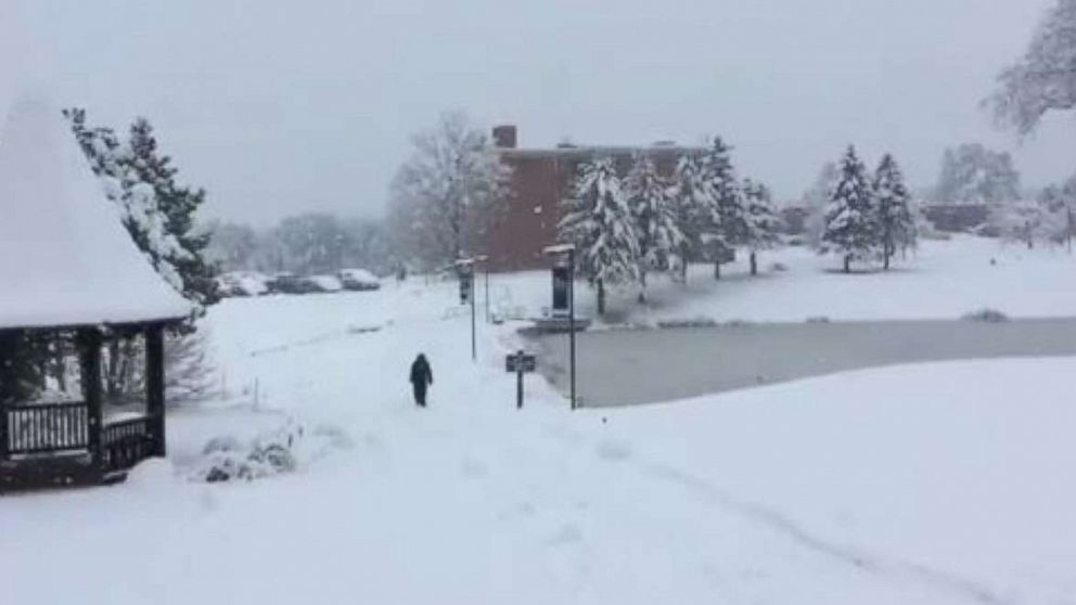
Inland areas from Pennsylvania into western New York and the Hudson Valley and New England will stay cold enough for snow, sleet and freezing rain to continue. Significant accumulations of snow and ice are expected.
Some areas in the Northeast and the Appalachians will see more than half a foot of snow.
From Washington, D.C., to Philadelphia and New York City the totals will mostly be around 1 inch, while just west and north of the major cities there could be up to 3 to 4 inches. Boston will see 1 to 2 inches, but areas west of the city could see closer to 3 inches or more.


