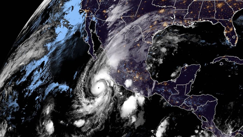
Hurricane Willa strengthened to a powerful Category 5 storm Monday morning as it takes aim at the Mexican coast.
Now churning with 160 mph winds, the storm is expected to weaken when it makes landfall but is forecast to bring large waves, gusty winds, heavy rain and coastal flooding.
Mexico will begin to feel the impacts of Willa late Tuesday morning. The hurricane is forecast to make landfall south of Mazatlan Tuesday night.
The major resort areas of Puerto Vallarta and Mazatlan are under tropical storm warnings — as they are expected to face gusty winds, heavy rain and some flooding — but they are not under hurricane warnings, because the worst part of the storm is forecast to miss those popular vacation spots.
Willa is expected to hit Mexico’s Pacific Coast as at least a Category 3, potentially bringing life-threatening storm surge and flash floods farther inland.
Some regions could see up to 2 feet of rain.
Willa is then expected to weaken after passing over the Sierra Madre mountains, and the remnants of the storm will likely will bring significant rainfall to Texas.
Some portions of southern and central Texas could see as much as 4 inches of rain this week.
Heavy rain also is possible in Louisiana and Mississippi.


