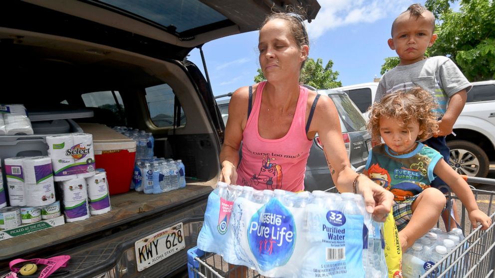
The intensity of Hurrican Lane has continued to increase, now reaching Category 5 level with fierce winds of 160 mph as it takes aim at Hawaii.
A hurricane warning has been issued for the Big Island, including Hilo, and hurricane watches are in place for the islands of Maui and Oahu, including the state’s capital city Honolulu.
All public schools on the Big Island and Maui will be closed starting Wednesday until further notice, said Gov. David Ige.
Tropical storm conditions on the Big Island will be possible Wednesday and hurricane conditions are possible Thursday.
For the island of Oahu, including Honolulu, tropical storm winds are expected Thursday and hurricane-force winds are possible Thursday night into Friday morning.
The Hawaiian Islands could see more than 20 inches of rain over the next several days from this hurricane.
A high surf warning has also been issued for Hawaii with waves up to 25 feet.
As Hurricane Lane takes a sharp turn north toward the islands Wednesday — and moves into cooler Pacific water — it is expected to weaken significantly by Friday, from Category 5 to a possible Category 1.
It’s rare for hurricanes to hit Hawaii because an area of high pressure that sits to the northeast of the islands steers the hurricanes away. This high pressure is the strongest from May through October, which is also prime hurricane season.
Hawaiian islands are also surrounded by cool water and tropical cyclones need ocean water temperatures to exceed 80 degrees to strengthen.
On record, there are only two hurricanes that have made landfall in Hawaii and both were on Kauai: Category 1 Dot hit in 1959 and catastrophic Category 4 Iniki came ashore in 1992.
In 1982, Category 1 Iwa made a major impact on Kauai, but because its eye did not hit the island, it wasn’t counted as officially making landfall there.


