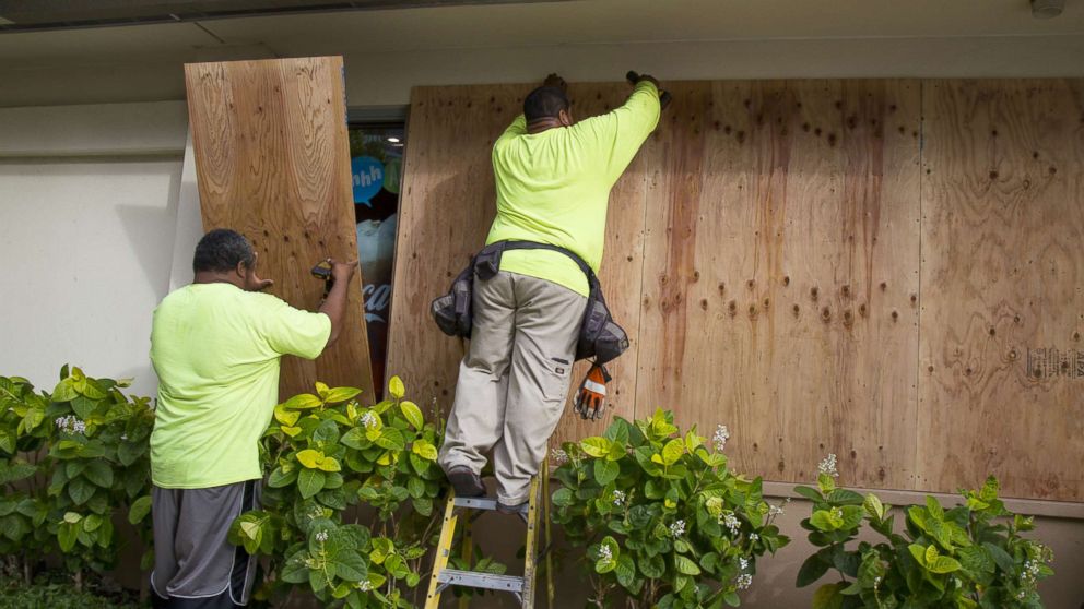
Parts of Hawaii’s Big Island have already reported receiving more than 2 feet of rain as Hurricane Lane lurches northward at about 6 mph.
The biggest threat from the Category 3 hurricane remains life-threatening flash flooding that could lead to landslides or mudslides. The storm’s wind speeds were last clocked at approximately 120 mph.
The center of the storm is about 165 miles southwest of Kailua-Kona and 215 miles south of Honolulu. Hurricane-force winds extend 35 miles from the storm’s center, and tropical-storm-force winds extend 125 miles from the center. The eye of the storm may get very close to or even pass over the islands.
Lane is expected to remain a hurricane for the next 12 to 24 hours, but increasing wind shear could weaken the storm more quickly over the next two to three days. The storm is forecast to pull away from Hawaii by late Saturday.
Rainfall rates in the outer bands of the hurricane may reach 1 to 3 inches per hour, meaning flash flood watches will remain in effect through late tonight. Additional rainfall of 10 to 20 inches is possible in some areas. Isolated areas could see 40 inches.
The peak wind gust reported so far is 68 mph in Kohala Ranch on the Big Island.
Elsewhere, intense monsoon storms caused flash floods in Phoenix on Thursday, stranding drivers on roadways.
Later today, severe storms are expected from northern Missouri to southern Minnesota, with large hail and damaging winds the biggest Midwest threats.
Parts of Kansas saw more than 3 inches of rain on Thursday, leading to flash floods. Afternoon storms today could cause localized floods in sections of Missouri, Illinois and Wisconsin.


