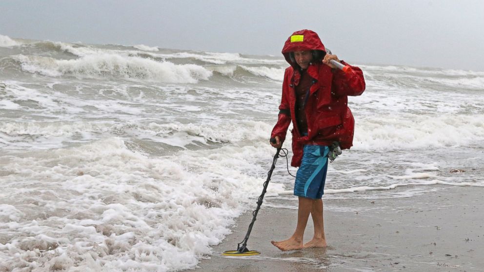
Gordon is a strong tropical storm on Tuesday morning with winds of 65 mph as it moves out into the Gulf of Mexico ahead of an expected landfall between Louisiana and Alabama late Tuesday.
Governors in both Mississippi and Louisiana have declared states of emergency, and voluntary evacuations were issued for parts of New Orleans late Monday.
Tropical Storm Gordon is located about 230 miles east-southeast of the mouth of the Mississippi River.
Most of Gordon’s heavy rain and gusty winds are over the Gulf of Mexico. The storm is moving fast for a tropical system to the west-northwest at 17 mph.
As Gordon continue to move over very warm Gulf of Mexico water — currently about 86 degrees — it is expected to strengthen into a hurricane by Tuesday afternoon.
Landfall will take place somewhere along the Mississippi coastline late Tuesday.
A hurricane warning has been issued for Mississippi and Alabama, while a tropical storm warning stretches from the western Florida Panhandle to central Louisiana.
Storm surge could be as high as 5 feet in Alabama — with 1 to 4 feet elsewhere. Winds will gust over 75 mph in the hurricane warning areas, and over 40 mph in the tropical storm warning areas.
Heavy rain and inland flooding will be a major issue with this storm — from coastal Mississippi, Alabama and Louisiana into Arkansas, where some areas could see half a foot of rain, and locally maybe even up to a foot.
Inland flooding from Mississippi to Arkansas could be catastrophic.


