The Northeast is bracing for an intense winter storm right after parts of California have seen almost a foot of rain this week.
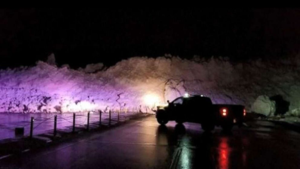
As two storm systems have headed east, with one over the Rockies overnight, more than a foot of snow has fallen in Utah and about a foot has been seen in Colorado.
The first of the two storms is moving through the Northeast Friday morning, with slick roads likely from Washington, D.C., to Boston. Snow accumulations this morning along the Interstate 95 corridor are fairly light — just 1 to 2 inches.
As the second storm moves toward the Plains and Midwest, heavy snow is likely in the Dakotas, Iowa, Wisconsin and parts of Illinois.
Heavy snow should be moving into Chicago, the southern Great Lakes and other parts of the Midwest later tonight. Winter storm warnings have been issued.
Saturday afternoon and evening, this second storm is moving into Ohio Valley with heavy snow for western New York and Pennsylvania.
South of areas receiving snow, heavy rain and thunderstorms are expected.
On Saturday night, a quick hit of heavy snow in Philadelphia and New York and many coastal areas is expected, before some of that precipitation turns to sleet and freezing rain.
New York City could see 2 to 3 inches of snow and 1 to 2 inches of sleet, with Philly receiving a bit less of both. Washington will mostly see rain, while Boston will see more snow, maybe more than half a foot.
Upstate New York, central Pennsylvania and much of New England may see more than 2 feet of snow.
Behind the storm, an Arctic blast is forecast to spill into the central and eastern U.S., delivering the coldest air of the season and brutally cold wind chills Monday morning.


